 vesseltracker.com
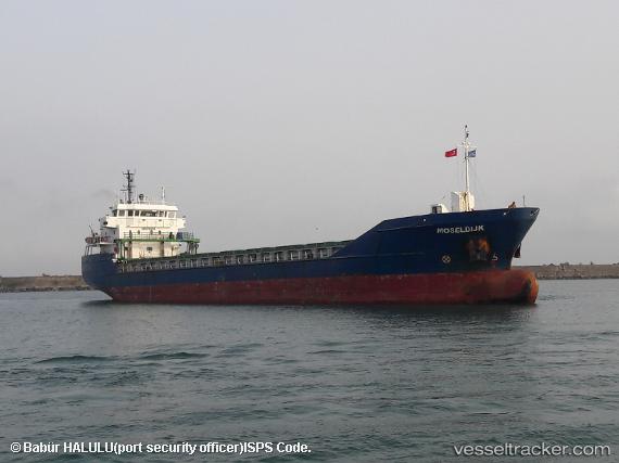
 CELTIC VOYAGER
Current Status
Where is the vessel?
CELTIC VOYAGER is currently in Near Bird Port, based on AIS data received about 1h ago.
Latest AIS update:
Current position: 51.56376° N, 2.98775° W (Near Bird Port)
Average speed (last 7 days): Loading…
Average speed (last 30 days): Loading…
Vessel profile: CELTIC VOYAGER is a General Cargo with dimensions m x m.
This page combines live AIS, route history, probable destination signals, nearby traffic, and port activity for practical vessel monitoring.
The current position of vessel CELTIC VOYAGER is 51.56376 lat / -2.98775 lng. Updated: 2026-04-14 15:59:18 UTCNearest reference points:
- Near Bird Port
- Near Penarth
- Near Leckwith
Currently sailing under the flag of Portugal ![]()
Details:
Live Vessel CELTIC VOYAGER Analytics (details, animations, etc.)
Recent AIS points (UTC):
2026-04-14 09:35:47 UTC · 51.56376, -2.98773 · SOG 0 kn · COG 144°2026-04-14 12:11:17 UTC · 51.56369, -2.98788 · SOG 0 kn · COG 144°
2026-04-14 13:50:15 UTC · 51.56365, -2.98763 · SOG 0 kn · COG 143°
2026-04-14 15:59:18 UTC · 51.56376, -2.98775 · SOG 0 kn · COG 144°