 vesseltracker.com
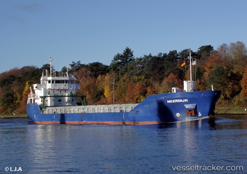
 CELTIC MARINER
Current Status
Where is the vessel?
CELTIC MARINER is currently in 11 nm N of Grampound, based on AIS data received about 1h ago.
Latest AIS update:
Current position: 50.66347° N, 5.43765° W (11 nm N of Grampound)
Average speed (last 7 days): Loading…
Average speed (last 30 days): Loading…
Vessel profile: CELTIC MARINER is a General Cargo with dimensions m x m.
This page combines live AIS, route history, probable destination signals, nearby traffic, and port activity for practical vessel monitoring.
The current position of vessel CELTIC MARINER is 50.66347 lat / -5.43765 lng. Updated: 2026-04-03 07:27:33 UTCNearest reference points:
- 10 nm NW of Grampound
- Near Falmouth
- Near Flushing
Currently sailing under the flag of Portugal ![]()
Details:
Live Vessel CELTIC MARINER Analytics (details, animations, etc.)
Recent AIS points (UTC):
2026-04-03 02:22:43 UTC · 49.93785, -5.84336 · SOG 8.1 kn · COG 317°2026-04-03 03:29:14 UTC · 50.11436, -5.86705 · SOG 10 kn · COG 356°
2026-04-03 05:35:22 UTC · 50.43051, -5.72876 · SOG 10.1 kn · COG 33°
2026-04-03 07:27:33 UTC · 50.66347, -5.43765 · SOG 9 kn · COG 35°