 vesseltracker.com
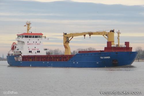
 SEA CARRIER
Current Status
Where is the vessel?
SEA CARRIER is currently in 27 nm E of Grena, based on AIS data received less than 1h ago.
Latest AIS update:
Current position: 56.57534° N, 11.68663° E (27 nm E of Grena)
Average speed (last 7 days): Loading…
Average speed (last 30 days): Loading…
Vessel profile: SEA CARRIER is a General Cargo with dimensions m x m.
This page combines live AIS, route history, probable destination signals, nearby traffic, and port activity for practical vessel monitoring.
The current position of vessel SEA CARRIER is 56.57534 lat / 11.68663 lng. Updated: 2026-04-19 16:45:15 UTCNearest reference points:
- 11 nm NW of Tisvilde
- Near HUNDESTED
- Near Varberg
Currently sailing under the flag of Portugal ![]()
Details:
Live Vessel SEA CARRIER Analytics (details, animations, etc.)
Recent AIS points (UTC):
2026-04-19 13:59:08 UTC · 57.08521, 11.64660 · SOG 12 kn · COG 159°2026-04-19 14:00:27 UTC · 57.08102, 11.64943 · SOG 12 kn · COG 159°
2026-04-19 16:21:26 UTC · 56.64379, 11.75739 · SOG 12.1 kn · COG 212°
2026-04-19 16:45:15 UTC · 56.57534, 11.68663 · SOG 11.8 kn · COG 211°