 vesseltracker.com
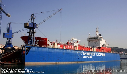
 IVER BEST
Current Status
Where is the vessel?
IVER BEST is currently in 45 nm W of Gibraltar, based on AIS data received less than 1h ago.
Latest AIS update:
Current position: 36.12022° N, 7.29040° W (45 nm W of Gibraltar)
Average speed (last 7 days): Loading…
Average speed (last 30 days): Loading…
Vessel profile: IVER BEST is a Asphalt/Bitumen Tanker with dimensions m x m.
This page combines live AIS, route history, probable destination signals, nearby traffic, and port activity for practical vessel monitoring.
The current position of vessel IVER BEST is 36.12022 lat / -7.29040 lng. Updated: 2026-04-20 04:03:31 UTCNearest reference points:
- 45 nm W of Gibraltar
- 42 nm S of Faro
- Near Gibraltar
Currently sailing under the flag of Portugal ![]()
Details:
Live Vessel IVER BEST Analytics (details, animations, etc.)
Recent AIS points (UTC):
2026-04-19 23:40:58 UTC · 36.33289, -8.19839 · SOG 10.8 kn · COG 103°2026-04-20 01:38:58 UTC · 36.24367, -7.77942 · SOG 10.3 kn · COG 105°
2026-04-20 01:47:47 UTC · 36.23690, -7.74934 · SOG 10.3 kn · COG 105°
2026-04-20 04:03:31 UTC · 36.12022, -7.29040 · SOG 10.1 kn · COG 105°