 vesseltracker.com
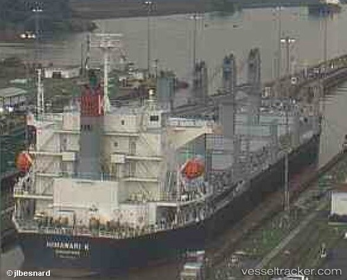
 CHRYSOULA S
Current Status
Where is the vessel?
CHRYSOULA S is currently in 12 nm N of Cap-Haitien, based on AIS data received about 2h ago.
Latest AIS update:
Current position: 19.95960° N, 72.19347° W (12 nm N of Cap-Haitien)
Average speed (last 7 days): Loading…
Average speed (last 30 days): Loading…
Vessel profile: CHRYSOULA S is a Cargo with dimensions m x m.
This page combines live AIS, route history, probable destination signals, nearby traffic, and port activity for practical vessel monitoring.
The current position of vessel CHRYSOULA S is 19.95960 lat / -72.19347 lng. Updated: 2026-03-28 08:09:28 UTCNearest reference points:
- 56 nm SW of Cockburn Harbour
- 47 nm SW of Cockburn Harbour
- 38 nm SW of Cockburn Harbour
Currently sailing under the flag of Portugal ![]()
Details:
Live Vessel CHRYSOULA S Analytics (details, animations, etc.)
Recent AIS points (UTC):
2026-03-28 01:43:11 UTC · 19.91950, -72.11809 · SOG 1.2 kn · COG 347°2026-03-28 03:05:17 UTC · 19.92740, -72.13706 · SOG 0.6 kn · COG 6°
2026-03-28 04:59:28 UTC · 19.93984, -72.15985 · SOG 0.7 kn · COG 352°
2026-03-28 08:09:28 UTC · 19.95960, -72.19347 · SOG 0.6 kn · COG 10°