 vesseltracker.com
 RIO FREDRIKSTAD
Current Status
Where is the vessel?
RIO FREDRIKSTAD is currently in Near Punta Umbría, based on AIS data received less than 1h ago.
Latest AIS update:
Current position: 37.20572° N, 6.93912° W (Near Punta Umbría)
Average speed (last 7 days): Loading…
Average speed (last 30 days): Loading…
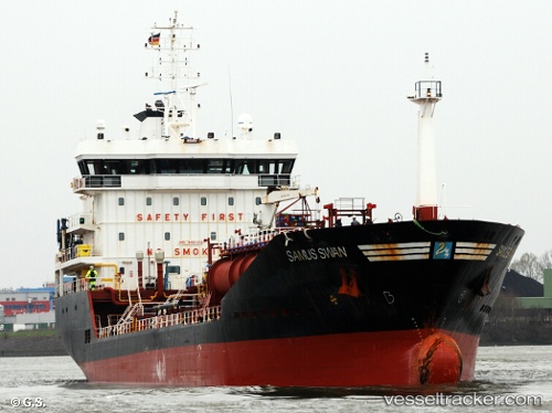
Vessel profile: RIO FREDRIKSTAD is a Oil/Chemical Tanker with dimensions m x m.
This page combines live AIS, route history, probable destination signals, nearby traffic, and port activity for practical vessel monitoring.
The current position of vessel RIO FREDRIKSTAD is 37.20572 lat / -6.93912 lng. Updated: 2026-03-30 08:15:56 UTCNearest reference points:
- Near Punta Umbría
- Near La Antilla
- Near VILA REAL ST ANTONIO
Currently sailing under the flag of Portugal ![]()
Details:
Live Vessel RIO FREDRIKSTAD Analytics (details, animations, etc.)
Recent AIS points (UTC):
2026-03-30 02:06:56 UTC · 37.20571, -6.93912 · SOG 0 kn · COG 186°2026-03-30 03:24:56 UTC · 37.20575, -6.93912 · SOG 0 kn · COG 186°
2026-03-30 06:09:56 UTC · 37.20577, -6.93914 · SOG 0 kn · COG 187°
2026-03-30 08:15:56 UTC · 37.20572, -6.93912 · SOG 0 kn · COG 187°