 vesseltracker.com
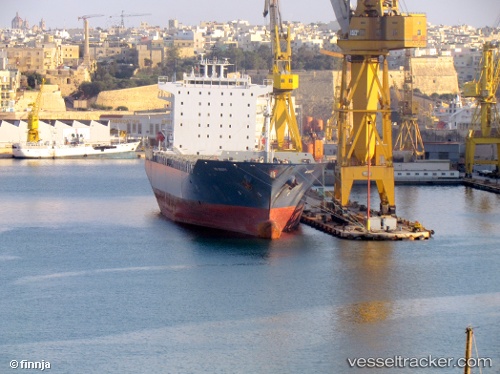
 EMMA A
Current Status
Where is the vessel?
EMMA A is currently in 27 nm S of Licata, based on AIS data received about 1d ago.
Latest AIS update:
Current position: 36.63355° N, 13.93700° E (27 nm S of Licata)
Average speed (last 7 days): Loading…
Average speed (last 30 days): Loading…
Vessel profile: EMMA A is a Container Ship with dimensions 213m x 32m.
This page combines live AIS, route history, probable destination signals, nearby traffic, and port activity for practical vessel monitoring.
The current position of vessel EMMA A is 36.63355 lat / 13.93700 lng. Updated: 2026-04-10 07:23:39 UTCNearest reference points:
- Near Gela
- Near Licata
- Near Scoglitti
Currently sailing under the flag of Malta ![]()
EMMA A built in 2007 year
Deadweight:
38547 tDetails:
Live Vessel EMMA A Analytics (details, animations, etc.)
Recent AIS points (UTC):
2026-04-10 02:27:58 UTC · 36.35850, 15.41227 · SOG 15.8 kn · COG 267°2026-04-10 03:48:34 UTC · 36.35292, 14.98603 · SOG 14.7 kn · COG 274°
2026-04-10 06:01:34 UTC · 36.50535, 14.33440 · SOG 15.6 kn · COG 289°
2026-04-10 07:23:39 UTC · 36.63355, 13.93700 · SOG 15.8 kn · COG 293°