 vesseltracker.com
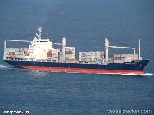
 CMA CGM SURABAYA
Current Status
Where is the vessel?
CMA CGM SURABAYA is currently in 108 nm NE of Bahia De Samana, based on AIS data received about 1h ago.
Latest AIS update:
Current position: 20.71570° N, 68.22829° W (108 nm NE of Bahia De Samana)
Average speed (last 7 days): Loading…
Average speed (last 30 days): Loading…
Vessel profile: CMA CGM SURABAYA is a Container Ship with dimensions m x m.
This page combines live AIS, route history, probable destination signals, nearby traffic, and port activity for practical vessel monitoring.
The current position of vessel CMA CGM SURABAYA is 20.71570 lat / -68.22829 lng. Updated: 2026-04-21 16:05:53 UTCNearest reference points:
- 52 nm N of Punta Cana Apt
- 47 nm N of Punta Cana Apt
- 32 nm N of Punta Cana Apt
Currently sailing under the flag of Malta ![]()
Details:
Live Vessel CMA CGM SURABAYA Analytics (details, animations, etc.)
Recent AIS points (UTC):
2026-04-21 13:30:53 UTC · 20.05247, -68.16587 · SOG 15.4 kn · COG 359°2026-04-21 13:30:53 UTC · 20.05247, -68.16587 · SOG 15.4 kn · COG 359°
2026-04-21 15:33:44 UTC · 20.57950, -68.21544 · SOG 15.3 kn · COG 358°
2026-04-21 16:05:53 UTC · 20.71570, -68.22829 · SOG 15.2 kn · COG 358°