 vesseltracker.com
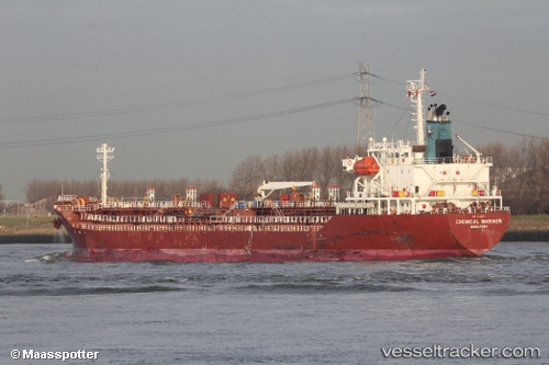
 CHEMICAL MARINER
Current Status
Where is the vessel?
CHEMICAL MARINER is currently in Near Derince, based on AIS data received about 2h ago.
Latest AIS update:
Current position: 40.75285° N, 29.86180° E (Near Derince)
Average speed (last 7 days): Loading…
Average speed (last 30 days): Loading…
Vessel profile: CHEMICAL MARINER is a Oil/Chemical Tanker with dimensions m x m.
This page combines live AIS, route history, probable destination signals, nearby traffic, and port activity for practical vessel monitoring.
The current position of vessel CHEMICAL MARINER is 40.75285 lat / 29.86180 lng. Updated: 2026-04-16 19:52:28 UTCNearest reference points:
- Near Derince
- Near AUTOPORT
- Near KORFEZ
Currently sailing under the flag of Malta ![]()
Details:
Live Vessel CHEMICAL MARINER Analytics (details, animations, etc.)
Recent AIS points (UTC):
2026-04-16 11:20:58 UTC · 40.76175, 29.66740 · SOG 0.1 kn · COG 267°2026-04-16 13:38:58 UTC · 40.76130, 29.66700 · SOG 0.1 kn · COG 298°
2026-04-16 15:29:01 UTC · 40.74248, 29.83292 · SOG 10.1 kn · COG 80°
2026-04-16 19:52:28 UTC · 40.75285, 29.86180 · SOG 0.1 kn · COG 340°