 vesseltracker.com
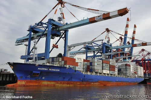
 CMACGM VILA DO CONDE
Current Status
Where is the vessel?
CMACGM VILA DO CONDE is currently in Near Tusdeer Free Zone, based on AIS data received about 1d ago.
Latest AIS update:
Current position: 21.48551° N, 39.04806° E (Near Tusdeer Free Zone)
Average speed (last 7 days): Loading…
Average speed (last 30 days): Loading…
Vessel profile: CMACGM VILA DO CONDE is a Container Ship with dimensions m x m.
This page combines live AIS, route history, probable destination signals, nearby traffic, and port activity for practical vessel monitoring.
The current position of vessel CMACGM VILA DO CONDE is 21.48551 lat / 39.04806 lng. Updated: 2026-04-10 07:43:58 UTCNearest reference points:
- Near Tusdeer Free Zone
- Near Jeddah
- 10 nm SW of Jeddah
Currently sailing under the flag of Malta ![]()
Details:
Live Vessel CMACGM VILA DO CONDE Analytics (details, animations, etc.)
Recent AIS points (UTC):
2026-04-10 02:09:06 UTC · 21.48569, 39.15423 · SOG 0.1 kn · COG 351°2026-04-10 04:00:06 UTC · 21.48558, 39.15426 · SOG 0.1 kn · COG 351°
2026-04-10 05:33:06 UTC · 21.48577, 39.15421 · SOG 0.1 kn · COG 351°
2026-04-10 07:43:58 UTC · 21.48551, 39.04806 · SOG 13.1 kn · COG 271°