 vesseltracker.com
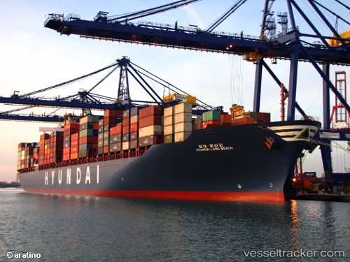
 CMA CGM GEORGE SAND
Current Status
Where is the vessel?
CMA CGM GEORGE SAND is currently in Near Itajai, based on AIS data received about 3h ago.
Latest AIS update:
Current position: 26.90099° S, 48.66383° W (Near Itajai)
Average speed (last 7 days): Loading…
Average speed (last 30 days): Loading…
Vessel profile: CMA CGM GEORGE SAND is a Container Ship with dimensions m x m.
This page combines live AIS, route history, probable destination signals, nearby traffic, and port activity for practical vessel monitoring.
The current position of vessel CMA CGM GEORGE SAND is -26.90099 lat / -48.66383 lng. Updated: 2026-04-16 16:14:55 UTCNearest reference points:
- Near Itajai
- 10 nm NE of CAMBORIU
- 32 nm E of Caioba
Currently sailing under the flag of Malta ![]()
Details:
Live Vessel CMA CGM GEORGE SAND Analytics (details, animations, etc.)
Recent AIS points (UTC):
2026-04-16 09:59:55 UTC · -26.90098, -48.66383 · SOG 0 kn · COG 99°2026-04-16 12:08:53 UTC · -26.90099, -48.66383 · SOG 0 kn · COG 99°
2026-04-16 13:56:53 UTC · -26.90099, -48.66384 · SOG 0 kn · COG 99°
2026-04-16 16:14:55 UTC · -26.90099, -48.66383 · SOG 0 kn · COG 100°