 vesseltracker.com
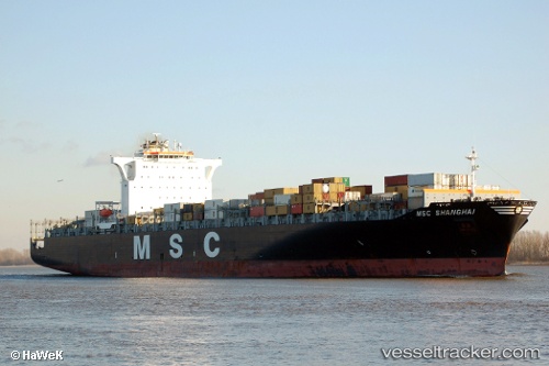
 SANTA VIOLA
Current Status
Where is the vessel?
SANTA VIOLA is currently in 74 nm S of Belida Terminal, based on AIS data received less than 1h ago.
Latest AIS update:
Current position: 2.92128° N, 104.89055° E (74 nm S of Belida Terminal)
Average speed (last 7 days): Loading…
Average speed (last 30 days): Loading…
Vessel profile: SANTA VIOLA is a Container Ship with dimensions m x m.
This page combines live AIS, route history, probable destination signals, nearby traffic, and port activity for practical vessel monitoring.
The current position of vessel SANTA VIOLA is 2.92128 lat / 104.89055 lng. Updated: 2026-04-20 03:53:52 UTCNearest reference points:
- 80 nm SW of Terempa
- 64 nm NE of PENGERANG
- 53 nm NE of PENGERANG
Currently sailing under the flag of Malta ![]()
Details:
Live Vessel SANTA VIOLA Analytics (details, animations, etc.)
Recent AIS points (UTC):
2026-04-19 23:58:02 UTC · 2.91429, 104.91231 · SOG 1.5 kn · COG 106°2026-04-20 02:01:31 UTC · 2.90805, 104.89849 · SOG 3.3 kn · COG 257°
2026-04-20 02:04:02 UTC · 2.90752, 104.89625 · SOG 3.1 kn · COG 261°
2026-04-20 03:53:52 UTC · 2.92128, 104.89055 · SOG 0.2 kn · COG 83°