 vesseltracker.com
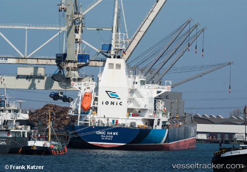
 NAVA DIONYSSOS
Current Status
Where is the vessel?
NAVA DIONYSSOS is currently in 127 nm SW of Conakry, based on AIS data received about 1h ago.
Latest AIS update:
Current position: 8.43459° N, 15.57683° W (127 nm SW of Conakry)
Average speed (last 7 days): Loading…
Average speed (last 30 days): Loading…
Vessel profile: NAVA DIONYSSOS is a Bulk Carrier with dimensions m x m.
This page combines live AIS, route history, probable destination signals, nearby traffic, and port activity for practical vessel monitoring.
The current position of vessel NAVA DIONYSSOS is 8.43459 lat / -15.57683 lng. Updated: 2026-04-19 06:21:19 UTCNearest reference points:
- 79 nm SW of Conakry
- 97 nm SW of Port de Boké
- 49 nm S of Port de Boké
Currently sailing under the flag of Malta ![]()
Details:
Live Vessel NAVA DIONYSSOS Analytics (details, animations, etc.)
Recent AIS points (UTC):
2026-04-19 00:10:10 UTC · 7.47758, -14.88692 · SOG 11.7 kn · COG 328°2026-04-19 02:04:59 UTC · 7.78209, -15.10656 · SOG 11.4 kn · COG 323°
2026-04-19 03:46:01 UTC · 8.03588, -15.28979 · SOG 11.3 kn · COG 323°
2026-04-19 06:21:19 UTC · 8.43459, -15.57683 · SOG 11.3 kn · COG 319°