 vesseltracker.com
 Feed Rana
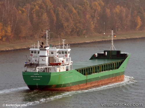
Current Status
Where is the vessel?
Feed Rana is currently in Near Båly, based on AIS data received less than 1h ago.
Latest AIS update:
Current position: 57.94731° N, 7.15719° E (Near Båly)
Average speed (last 7 days): Loading…
Average speed (last 30 days): Loading…
Vessel profile: Feed Rana is a Multi Purpose Carrier with dimensions 90m x 14m.
This page combines live AIS, route history, probable destination signals, nearby traffic, and port activity for practical vessel monitoring.
The current position of vessel Feed Rana is 57.94731 lat / 7.15719 lng. Updated: 2026-04-18 16:25:03 UTCNearest reference points:
- Near Kirkehamn
- Near Åna-Sira
- Near Kristiansand
Currently sailing under the flag of Norway ![]()
Feed Rana built in 2004 year
Deadweight:
4485 tDetails:
Live Vessel Feed Rana Analytics (details, animations, etc.)
Recent AIS points (UTC):
2026-04-18 09:49:22 UTC · 58.46357, 5.76573 · SOG 8 kn · COG 140°2026-04-18 12:20:42 UTC · 58.22929, 6.25268 · SOG 8.9 kn · COG 137°
2026-04-18 14:04:43 UTC · 58.04779, 6.60338 · SOG 8.8 kn · COG 134°
2026-04-18 16:25:03 UTC · 57.94731, 7.15719 · SOG 8.3 kn · COG 105°