 vesseltracker.com
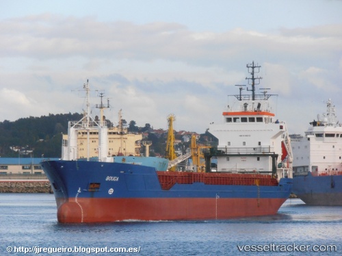
 Tifjord
Current Status
Where is the vessel?
Tifjord is currently in 17 nm SE of Flekkerøy, based on AIS data received less than 1h ago.
Latest AIS update:
Current position: 57.86162° N, 8.33367° E (17 nm SE of Flekkerøy)
Average speed (last 7 days): Loading…
Average speed (last 30 days): Loading…
Vessel profile: Tifjord is a Multi Purpose Carrier with dimensions 95m x 95m.
This page combines live AIS, route history, probable destination signals, nearby traffic, and port activity for practical vessel monitoring.
The current position of vessel Tifjord is 57.86162 lat / 8.33367 lng. Updated: 2026-04-16 23:26:06 UTCNearest reference points:
- Near Kristiansand
- 27 nm N of HANSTHOLM
- 28 nm NW of Lokken
Currently sailing under the flag of Norway ![]()
Tifjord built in 1999 year
Deadweight:
5065 tDetails:
Live Vessel Tifjord Analytics (details, animations, etc.)
Recent AIS points (UTC):
2026-04-16 16:20:04 UTC · 58.11131, 6.44438 · SOG 8.7 kn · COG 138°2026-04-16 20:17:46 UTC · 57.90903, 7.40944 · SOG 8 kn · COG 95°
2026-04-16 21:58:25 UTC · 57.88300, 7.87861 · SOG 9.8 kn · COG 95°
2026-04-16 23:26:06 UTC · 57.86162, 8.33367 · SOG 10 kn · COG 98°