 vesseltracker.com
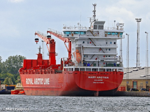
 SILVER MARY
Current Status
Where is the vessel?
SILVER MARY is currently in 62 nm SE of Louisbourg, based on AIS data received less than 1h ago.
Latest AIS update:
Current position: 45.47704° N, 58.63529° W (62 nm SE of Louisbourg)
Average speed (last 7 days): Loading…
Average speed (last 30 days): Loading…
Vessel profile: SILVER MARY is a Cargo/Container Ship with dimensions m x m.
This page combines live AIS, route history, probable destination signals, nearby traffic, and port activity for practical vessel monitoring.
The current position of vessel SILVER MARY is 45.47704 lat / -58.63529 lng. Updated: 2026-04-15 04:17:52 UTCNearest reference points:
- Near MIQUELON
- Near SAINT PIERRE
- 49 nm NW of La Cruz de Illas
Currently sailing under the flag of Norway ![]()
Details:
Live Vessel SILVER MARY Analytics (details, animations, etc.)
Recent AIS points (UTC):
2026-04-14 21:48:42 UTC · 45.09546, -60.29397 · SOG 11 kn · COG 73°2026-04-14 23:15:51 UTC · 45.17699, -59.92888 · SOG 11.7 kn · COG 71°
2026-04-15 01:11:15 UTC · 45.29681, -59.43565 · SOG 11.1 kn · COG 73°
2026-04-15 04:17:52 UTC · 45.47704, -58.63529 · SOG 11.1 kn · COG 68°