 vesseltracker.com
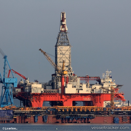
 West Mira
Current Status
Where is the vessel?
West Mira is currently in 179 nm W of Koiingnaas, based on AIS data received about 4h ago.
Latest AIS update:
Current position: 29.56294° S, 13.91529° E (179 nm W of Koiingnaas)
Average speed (last 7 days): Loading…
Average speed (last 30 days): Loading…
Vessel profile: West Mira is a Drilling Ship with dimensions 125m x 125m.
This page combines live AIS, route history, probable destination signals, nearby traffic, and port activity for practical vessel monitoring.
The current position of vessel West Mira is -29.56294 lat / 13.91529 lng. Updated: 2026-04-04 23:07:52 UTCNearest reference points:
- 161 nm W of Koiingnaas
- 154 nm W of Koiingnaas
- 167 nm SW of Koiingnaas
Currently sailing under the flag of Norway ![]()
Details:
Live Vessel West Mira Analytics (details, animations, etc.)
Recent AIS points (UTC):
2026-04-04 17:43:54 UTC · -29.56522, 13.91079 · SOG 0 kn · COG 180°2026-04-04 19:52:54 UTC · -29.56430, 13.91259 · SOG 0.1 kn · COG 180°
2026-04-04 21:02:53 UTC · -29.56294, 13.91529 · SOG 0 kn · COG 180°
2026-04-04 23:07:52 UTC · -29.56294, 13.91529 · SOG 0 kn · COG 180°