 vesseltracker.com
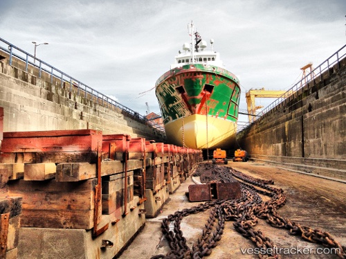
 FORTRESS
Current Status
Where is the vessel?
FORTRESS is currently in 46 nm SE of Pulau Lang Lang, based on AIS data received about 6h ago.
Latest AIS update:
Current position: 7.00667° N, 114.49667° E (46 nm SE of Pulau Lang Lang)
Average speed (last 7 days): Loading…
Average speed (last 30 days): Loading…
Vessel profile: FORTRESS is a Offshore Supply Ship with dimensions 83m x 19m.
This page combines live AIS, route history, probable destination signals, nearby traffic, and port activity for practical vessel monitoring.
The current position of vessel FORTRESS is 7.00667 lat / 114.49667 lng. Updated: 2026-04-10 07:35:51 UTCNearest reference points:
- 44 nm SW of Tembungo
- 53 nm S of Pulau Lang Lang
- Near Kikeh
Currently sailing under the flag of Norway (NIS) ![]()
FORTRESS built in 1996 year
Deadweight:
4693 tDetails:
Live Vessel FORTRESS Analytics (details, animations, etc.)
Recent AIS points (UTC):
2026-04-10 01:29:54 UTC · 6.62667, 113.60500 · SOG 9 kn · COG -1°2026-04-10 04:08:50 UTC · 6.78833, 113.98667 · SOG 9 kn · COG -1°
2026-04-10 05:41:52 UTC · 6.88167, 114.21333 · SOG 9 kn · COG -1°
2026-04-10 07:35:51 UTC · 7.00667, 114.49667 · SOG 9 kn · COG -1°