 vesseltracker.com
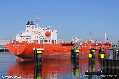
 LINKEN
Current Status
Where is the vessel?
LINKEN is currently in 57 nm W of Veraval, based on AIS data received about 2h ago.
Latest AIS update:
Current position: 20.90977° N, 69.34026° E (57 nm W of Veraval)
Average speed (last 7 days): Loading…
Average speed (last 30 days): Loading…
Vessel profile: LINKEN is a Tanker with dimensions m x m.
This page combines live AIS, route history, probable destination signals, nearby traffic, and port activity for practical vessel monitoring.
The current position of vessel LINKEN is 20.90977 lat / 69.34026 lng. Updated: 2026-03-26 21:26:24 UTCNearest reference points:
- 54 nm S of Positra
- 49 nm S of Positra
- Near Khambhaliya
Currently sailing under the flag of Norway ![]()
Details:
Live Vessel LINKEN Analytics (details, animations, etc.)
Recent AIS points (UTC):
2026-03-26 16:24:34 UTC · 20.41990, 70.34672 · SOG 12.8 kn · COG 290°2026-03-26 18:25:04 UTC · 20.57327, 69.91841 · SOG 12.7 kn · COG 292°
2026-03-26 19:45:35 UTC · 20.67899, 69.63204 · SOG 13 kn · COG 292°
2026-03-26 21:26:24 UTC · 20.90977, 69.34026 · SOG 12.9 kn · COG 312°