 vesseltracker.com
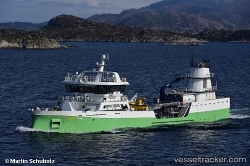
 Ronja Tind
Current Status
Where is the vessel?
Ronja Tind is currently in Near Listraumen, based on AIS data received about 1h ago.
Latest AIS update:
Current position: 61.09667° N, 5.03091° E (Near Listraumen)
Average speed (last 7 days): Loading…
Average speed (last 30 days): Loading…
Vessel profile: Ronja Tind is a Live Fish Carrier with dimensions 70m x 12m.
This page combines live AIS, route history, probable destination signals, nearby traffic, and port activity for practical vessel monitoring.
The current position of vessel Ronja Tind is 61.09667 lat / 5.03091 lng. Updated: 2026-03-25 19:33:54 UTCNearest reference points:
- Near Eivindvik
- Near Solund
- Near Eikefjord
Currently sailing under the flag of Norway ![]()
Details:
Live Vessel Ronja Tind Analytics (details, animations, etc.)
Recent AIS points (UTC):
2026-03-25 14:14:52 UTC · 60.45315, 5.01919 · SOG 9.2 kn · COG 334°2026-03-25 15:48:51 UTC · 60.67101, 4.85754 · SOG 8.4 kn · COG 341°
2026-03-25 18:20:31 UTC · 60.96818, 4.72413 · SOG 9.5 kn · COG 47°
2026-03-25 19:33:54 UTC · 61.09667, 5.03091 · SOG 8.7 kn · COG 9°