 vesseltracker.com
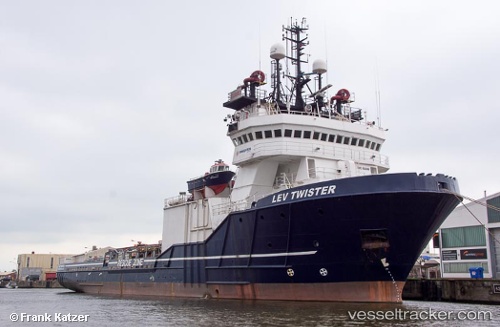
 OCEAN KING
Current Status
Where is the vessel?
OCEAN KING is currently in 30 nm E of Leuwiliang, based on AIS data received less than 1h ago.
Latest AIS update:
Current position: 6.64500° N, 107.11833° E (30 nm E of Leuwiliang)
Average speed (last 7 days): Loading…
Average speed (last 30 days): Loading…
Vessel profile: OCEAN KING is a Anchor Handling Vessel with dimensions m x m.
This page combines live AIS, route history, probable destination signals, nearby traffic, and port activity for practical vessel monitoring.
The current position of vessel OCEAN KING is 6.64500 lat / 107.11833 lng. Updated: 2026-04-21 05:21:37 UTCNearest reference points:
- 36 nm SW of Slipi
- 11 nm N of Gombong
- 50 nm SW of Ben Dam Con Dao Terminals
Currently sailing under the flag of Norway ![]()
Details:
Live Vessel OCEAN KING Analytics (details, animations, etc.)
Recent AIS points (UTC):
2026-04-21 01:24:40 UTC · 7.49333, 107.54333 · SOG 14 kn · COG -1°2026-04-21 03:33:39 UTC · 7.04500, 107.29333 · SOG 14 kn · COG -1°
2026-04-21 04:09:36 UTC · 6.91500, 107.22667 · SOG 14 kn · COG -1°
2026-04-21 05:21:37 UTC · 6.64500, 107.11833 · SOG 14 kn · COG -1°