 vesseltracker.com
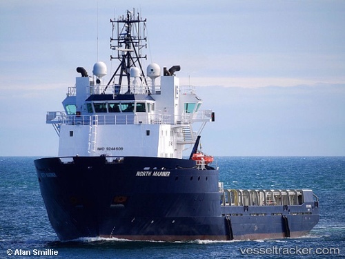
 SAR MARINER
Current Status
Where is the vessel?
SAR MARINER is currently in 29 nm E of Monemvasía, based on AIS data received less than 1h ago.
Latest AIS update:
Current position: 36.81833° N, 23.62500° E (29 nm E of Monemvasía)
Average speed (last 7 days): Loading…
Average speed (last 30 days): Loading…
Vessel profile: SAR MARINER is a Offshore Supply Ship with dimensions m x m.
This page combines live AIS, route history, probable destination signals, nearby traffic, and port activity for practical vessel monitoring.
The current position of vessel SAR MARINER is 36.81833 lat / 23.62500 lng. Updated: 2026-04-18 06:11:33 UTCNearest reference points:
- 20 nm E of FOKIANOS
- 17 nm W of Milos (Adamas)
- Near Methana
Currently sailing under the flag of Norway ![]()
Details:
Live Vessel SAR MARINER Analytics (details, animations, etc.)
Recent AIS points (UTC):
2026-04-17 23:55:46 UTC · 36.68010, 23.49758 · SOG 1.5 kn · COG 27°2026-04-18 01:50:05 UTC · 36.72579, 23.53823 · SOG 1.7 kn · COG 17°
2026-04-18 03:56:33 UTC · 36.76667, 23.57667 · SOG 1 kn · COG -1°
2026-04-18 06:11:33 UTC · 36.81833, 23.62500 · SOG 2 kn · COG -1°