 vesseltracker.com
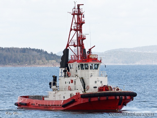
 John
John
Current Status
Where is the vessel?
John is currently in Near Slagen, based on AIS data received about 1h ago.
Latest AIS update:
Current position: 59.32514° N, 10.51483° E (Near Slagen)
Average speed (last 7 days): Loading…
Average speed (last 30 days): Loading…
Vessel profile: John is a Tug with dimensions 33m x 10m.
This page combines live AIS, route history, probable destination signals, nearby traffic, and port activity for practical vessel monitoring.
The current position of vessel John is 59.32514 lat / 10.51483 lng. Updated: 2026-03-30 09:58:56 UTCNearest reference points:
- Near Husøy - Tønsberg
- Near Hvasser
- Near Langøya
Currently sailing under the flag of Norway ![]()
John built in 1991 year
Deadweight:
118 tDetails:
Live Vessel John Analytics (details, animations, etc.)
Recent AIS points (UTC):
2026-03-30 03:41:02 UTC · 59.32514, 10.51483 · SOG 0.2 kn · COG 8°2026-03-30 05:22:57 UTC · 59.32512, 10.51485 · SOG 0.1 kn · COG 9°
2026-03-30 07:58:53 UTC · 59.32513, 10.51485 · SOG 0.2 kn · COG 9°
2026-03-30 09:58:56 UTC · 59.32514, 10.51483 · SOG 0.1 kn · COG 9°