 vesseltracker.com
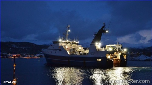
 Vesttind
Current Status
Where is the vessel?
Vesttind is currently in 123 nm E of Hopen, based on AIS data received about 1h ago.
Latest AIS update:
Current position: 76.01338° N, 33.47664° E (123 nm E of Hopen)
Average speed (last 7 days): Loading…
Average speed (last 30 days): Loading…
Vessel profile: Vesttind is a Fishing Vessel with dimensions 60m x 14m.
This page combines live AIS, route history, probable destination signals, nearby traffic, and port activity for practical vessel monitoring.
The current position of vessel Vesttind is 76.01338 lat / 33.47664 lng. Updated: 2026-04-04 02:09:17 UTCCurrently sailing under the flag of Norway ![]()
Vesttind built in 2000 year
Details:
Live Vessel Vesttind Analytics (details, animations, etc.)
Recent AIS points (UTC):
2026-04-03 20:23:57 UTC · 76.05952, 33.52885 · SOG 2.6 kn · COG 299°2026-04-03 21:57:59 UTC · 76.06454, 33.24422 · SOG 2.8 kn · COG 320°
2026-04-03 23:27:47 UTC · 76.08289, 33.18026 · SOG 2.3 kn · COG 127°
2026-04-04 02:09:17 UTC · 76.01338, 33.47664 · SOG 2.1 kn · COG 108°