 vesseltracker.com
Princesa Santa Joana
Current StatusWhere is the vessel?
Princesa Santa Joana is currently in 87 nm E of White Rose Field, based on AIS data received about 1h ago.
Latest AIS update:
Current position: 46.64033° N, 45.88919° W (87 nm E of White Rose Field)
Average speed (last 7 days): Loading…
Average speed (last 30 days): Loading…
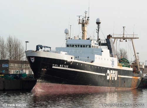
Vessel profile: Princesa Santa Joana is a Fishing Vessel with dimensions 15m x 92m.
This page combines live AIS, route history, probable destination signals, nearby traffic, and port activity for practical vessel monitoring.
The current position of vessel Princesa Santa Joana is 46.64033 lat / -45.88919 lng. Updated: 2026-04-10 07:47:38 UTCNearest reference points:
- 165 nm S of White Rose Field
Details:
Live Vessel Princesa Santa Joana Analytics (details, animations, etc.)
Recent AIS points (UTC):
2026-04-10 02:01:47 UTC · 46.87513, -46.34031 · SOG 4.2 kn · COG 155°2026-04-10 03:27:39 UTC · 46.79728, -46.24919 · SOG 4.1 kn · COG 127°
2026-04-10 06:11:47 UTC · 46.66794, -46.04400 · SOG 4.1 kn · COG 97°
2026-04-10 07:47:38 UTC · 46.64033, -45.88919 · SOG 4.4 kn · COG 93°