 vesseltracker.com
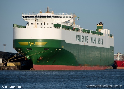
 Aniara
Current Status
Where is the vessel?
Aniara is currently in 110 nm SE of Kasatka, based on AIS data received about 1h ago.
Latest AIS update:
Current position: 43.70667° N, 149.60500° E (110 nm SE of Kasatka)
Average speed (last 7 days): Loading…
Average speed (last 30 days): Loading…
Vessel profile: Aniara is a Vehicles Carrier with dimensions 232m x 232m.
This page combines live AIS, route history, probable destination signals, nearby traffic, and port activity for practical vessel monitoring.
The current position of vessel Aniara is 43.70667 lat / 149.60500 lng. Updated: 2026-04-20 05:41:05 UTCCurrently sailing under the flag of Sweden ![]()
Aniara built in 2008 year
Deadweight:
30089 tDetails:
Live Vessel Aniara Analytics (details, animations, etc.)
Recent AIS points (UTC):
2026-04-20 02:05:03 UTC · 43.35500, 148.45667 · SOG 14 kn · COG -1°2026-04-20 04:11:01 UTC · 43.56167, 149.11833 · SOG 15 kn · COG -1°
2026-04-20 04:11:01 UTC · 43.56167, 149.11833 · SOG 15 kn · COG -1°
2026-04-20 05:41:05 UTC · 43.70667, 149.60500 · SOG 15 kn · COG -1°