 vesseltracker.com
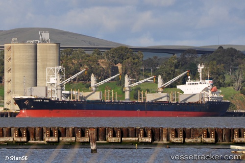
 ATLANTIC ADAM
Current Status
Where is the vessel?
ATLANTIC ADAM is currently in 26 nm S of Kattavía, based on AIS data received less than 1h ago.
Latest AIS update:
Current position: 35.52047° N, 27.80178° E (26 nm S of Kattavía)
Average speed (last 7 days): Loading…
Average speed (last 30 days): Loading…
Vessel profile: ATLANTIC ADAM is a Bulk Carrier with dimensions m x m.
This page combines live AIS, route history, probable destination signals, nearby traffic, and port activity for practical vessel monitoring.
The current position of vessel ATLANTIC ADAM is 35.52047 lat / 27.80178 lng. Updated: 2026-04-20 01:22:11 UTCNearest reference points:
- Near PANORMITIS
- Near Rhodes
- Near Kremasti
Currently sailing under the flag of San Marino ![]()
Details:
Live Vessel ATLANTIC ADAM Analytics (details, animations, etc.)
Recent AIS points (UTC):
2026-04-19 22:09:31 UTC · 35.39464, 27.23513 · SOG 9.2 kn · COG 57°2026-04-19 22:17:31 UTC · 35.40432, 27.25718 · SOG 9.1 kn · COG 56°
2026-04-20 00:07:42 UTC · 35.50002, 27.56336 · SOG 9.1 kn · COG 75°
2026-04-20 01:22:11 UTC · 35.52047, 27.80178 · SOG 9.5 kn · COG 83°