 vesseltracker.com
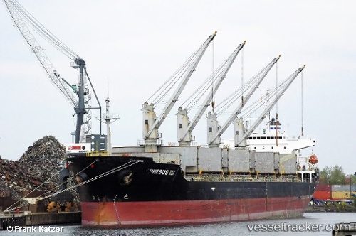
 POLESTAR
Current Status
Where is the vessel?
POLESTAR is currently in Near Agigea, based on AIS data received less than 1h ago.
Latest AIS update:
Current position: 44.09282° N, 28.68916° E (Near Agigea)
Average speed (last 7 days): Loading…
Average speed (last 30 days): Loading…
Vessel profile: POLESTAR is a Bulk Carrier with dimensions m x m.
This page combines live AIS, route history, probable destination signals, nearby traffic, and port activity for practical vessel monitoring.
The current position of vessel POLESTAR is 44.09282 lat / 28.68916 lng. Updated: 2026-04-21 17:48:09 UTCNearest reference points:
- Near Constanta
- Near MIDIA
- Near Ovidiu
Currently sailing under the flag of San Marino ![]()
Details:
Live Vessel POLESTAR Analytics (details, animations, etc.)
Recent AIS points (UTC):
2026-04-21 14:11:32 UTC · 44.09280, 28.68930 · SOG 0 kn · COG 27°2026-04-21 15:25:09 UTC · 44.09282, 28.68916 · SOG 0 kn · COG 26°
2026-04-21 16:57:10 UTC · 44.09277, 28.68919 · SOG 0 kn · COG 26°
2026-04-21 17:48:09 UTC · 44.09282, 28.68916 · SOG 0 kn · COG 26°