 vesseltracker.com
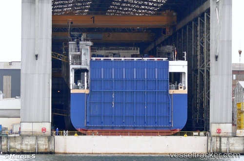
 Ulusoy 14
Current Status
Where is the vessel?
Ulusoy 14 is currently in 41 nm SW of Muna na Zirju, based on AIS data received about 1h ago.
Latest AIS update:
Current position: 43.10473° N, 15.13989° E (41 nm SW of Muna na Zirju)
Average speed (last 7 days): Loading…
Average speed (last 30 days): Loading…
Vessel profile: Ulusoy 14 is a Ro Ro Cargo Ship with dimensions 208m x 26m.
This page combines live AIS, route history, probable destination signals, nearby traffic, and port activity for practical vessel monitoring.
The current position of vessel Ulusoy 14 is 43.10473 lat / 15.13989 lng. Updated: 2026-04-08 08:01:38 UTCNearest reference points:
- 26 nm N of Isole Tremiti
- Near Muna na Zirju
- Near Primosten
Currently sailing under the flag of Turkey ![]()
Ulusoy 14 built in 2012 year
Deadweight:
15000 tDetails:
Live Vessel Ulusoy 14 Analytics (details, animations, etc.)
Recent AIS points (UTC):
2026-04-08 01:46:49 UTC · 44.44255, 13.69536 · SOG 16.7 kn · COG 145°2026-04-08 03:23:06 UTC · 44.08624, 14.04886 · SOG 16.3 kn · COG 140°
2026-04-08 05:59:32 UTC · 43.52976, 14.67329 · SOG 16.7 kn · COG 145°
2026-04-08 08:01:38 UTC · 43.10473, 15.13989 · SOG 15.9 kn · COG 142°