 vesseltracker.com
 Gulluk
Current Status
Where is the vessel?
Gulluk is currently in 53 nm S of San Martín De Pusa, based on AIS data received less than 1h ago.
Latest AIS update:
Current position: 38.90196° N, 4.51051° E (53 nm S of San Martín De Pusa)
Average speed (last 7 days): Loading…
Average speed (last 30 days): Loading…
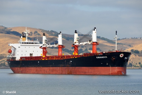
Vessel profile: Gulluk is a Bulk Carrier with dimensions 190m x 33m.
This page combines live AIS, route history, probable destination signals, nearby traffic, and port activity for practical vessel monitoring.
The current position of vessel Gulluk is 38.90196 lat / 4.51051 lng. Updated: 2026-04-18 14:03:07 UTCNearest reference points:
- 36 nm S of San Martín De Pusa
- Near MAO
- Near Zamoranos
Currently sailing under the flag of Turkey ![]()
Gulluk built in 2002 year
Deadweight:
50992 tDetails:
Live Vessel Gulluk Analytics (details, animations, etc.)
Recent AIS points (UTC):
2026-04-18 07:56:30 UTC · 39.11562, 2.76768 · SOG 13.8 kn · COG 110°2026-04-18 09:50:31 UTC · 39.05851, 3.30037 · SOG 13.3 kn · COG 94°
2026-04-18 12:19:34 UTC · 39.00455, 4.00973 · SOG 14 kn · COG 107°
2026-04-18 14:03:07 UTC · 38.90196, 4.51051 · SOG 13.9 kn · COG 102°