 vesseltracker.com
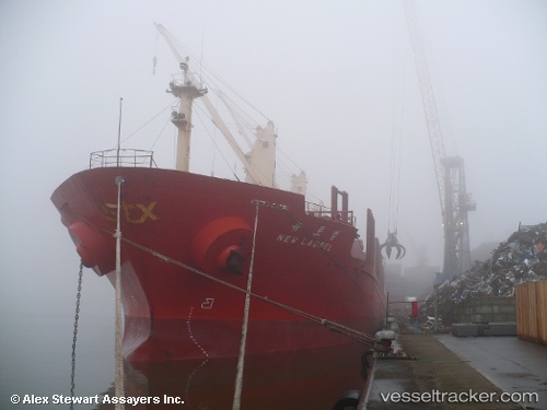
 Tamrey S
Current Status
Where is the vessel?
Tamrey S is currently in Near Isdemir, based on AIS data received about 1h ago.
Latest AIS update:
Current position: 36.73010° N, 36.19592° E (Near Isdemir)
Average speed (last 7 days): Loading…
Average speed (last 30 days): Loading…
Vessel profile: Tamrey S is a Bulk Carrier with dimensions m x 27m.
This page combines live AIS, route history, probable destination signals, nearby traffic, and port activity for practical vessel monitoring.
The current position of vessel Tamrey S is 36.73010 lat / 36.19592 lng. Updated: 2026-04-09 22:02:58 UTCNearest reference points:
- Near DORTYOL
- Near Iskenderun
- Near CEYHAN
Currently sailing under the flag of Turkey ![]()
Tamrey S built in 1999 year
Deadweight:
31024 tDetails:
Live Vessel Tamrey S Analytics (details, animations, etc.)
Recent AIS points (UTC):
2026-04-09 15:24:32 UTC · 36.73013, 36.19590 · SOG 0.3 kn · COG 54°2026-04-09 17:27:02 UTC · 36.73004, 36.19588 · SOG 0.2 kn · COG 54°
2026-04-09 19:44:59 UTC · 36.73012, 36.19593 · SOG 0.7 kn · COG 54°
2026-04-09 22:02:58 UTC · 36.73010, 36.19592 · SOG 0.6 kn · COG 54°