 vesseltracker.com
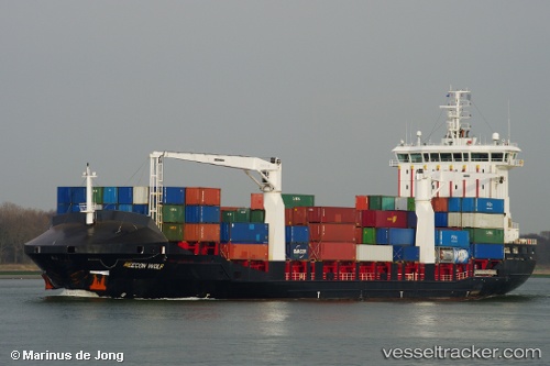
 DIONYSSIS A
Current Status
Where is the vessel?
DIONYSSIS A is currently in 30 nm S of Ágios Efstrátios, based on AIS data received about 1h ago.
Latest AIS update:
Current position: 39.05555° N, 25.19689° E (30 nm S of Ágios Efstrátios)
Average speed (last 7 days): Loading…
Average speed (last 30 days): Loading…
Vessel profile: DIONYSSIS A is a Container Ship with dimensions 146m x 22m.
This page combines live AIS, route history, probable destination signals, nearby traffic, and port activity for practical vessel monitoring.
The current position of vessel DIONYSSIS A is 39.05555 lat / 25.19689 lng. Updated: 2026-03-30 01:47:00 UTCNearest reference points:
- 29 nm SW of Sigri Lesvou
- 28 nm NW of Psará
- 20 nm S of Ágios Efstrátios
Currently sailing under the flag of Turkey ![]()
DIONYSSIS A built in 2008 year
Deadweight:
12296 tDetails:
Live Vessel DIONYSSIS A Analytics (details, animations, etc.)
Recent AIS points (UTC):
2026-03-29 19:47:36 UTC · 40.02714, 26.19062 · SOG 14.9 kn · COG 253°2026-03-29 22:18:45 UTC · 39.71573, 25.64811 · SOG 12.5 kn · COG -1°
2026-03-29 23:41:45 UTC · 39.46426, 25.44993 · SOG 12.9 kn · COG 215°
2026-03-30 01:47:00 UTC · 39.05555, 25.19689 · SOG 12.9 kn · COG 209°