 vesseltracker.com
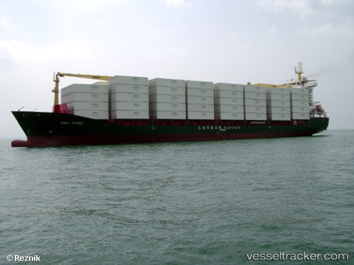
 KAPPA
KAPPA
Current Status
Where is the vessel?
KAPPA is currently in 39 nm SW of Cpc Terminal, based on AIS data received about 1d ago.
Latest AIS update:
Current position: 44.23333° N, 36.98500° E (39 nm SW of Cpc Terminal)
Average speed (last 7 days): Loading…
Average speed (last 30 days): Loading…
Vessel profile: KAPPA is a General Cargo with dimensions m x m.
This page combines live AIS, route history, probable destination signals, nearby traffic, and port activity for practical vessel monitoring.
The current position of vessel KAPPA is 44.23333 lat / 36.98500 lng. Updated: 2026-04-20 20:13:52 UTCNearest reference points:
- 26 nm SW of Cpc Terminal
- Near Cpc Terminal
- 13 nm NW of Cpc Terminal
Currently sailing under the flag of Turkey ![]()
Details:
Live Vessel KAPPA Analytics (details, animations, etc.)
Recent AIS points (UTC):
2026-04-20 20:13:52 UTC · 44.23333, 36.98500 · SOG 11 kn · COG -1°2026-04-20 20:13:52 UTC · 44.23333, 36.98500 · SOG 11 kn · COG -1°
2026-04-20 20:13:52 UTC · 44.23333, 36.98500 · SOG 11 kn · COG -1°
2026-04-20 20:13:52 UTC · 44.23333, 36.98500 · SOG 11 kn · COG -1°