 vesseltracker.com
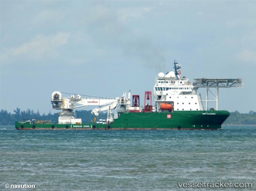
 MUKAVEMET
Current Status
Where is the vessel?
MUKAVEMET is currently in 65 nm NW of Bartin, based on AIS data received about 2h ago.
Latest AIS update:
Current position: 42.56333° N, 31.38833° E (65 nm NW of Bartin)
Average speed (last 7 days): Loading…
Average speed (last 30 days): Loading…
Vessel profile: MUKAVEMET is a Other Type with dimensions m x m.
This page combines live AIS, route history, probable destination signals, nearby traffic, and port activity for practical vessel monitoring.
The current position of vessel MUKAVEMET is 42.56333 lat / 31.38833 lng. Updated: 2026-04-18 03:56:13 UTCNearest reference points:
- Near Erdemir
- Near Cide
- 54 nm SE of Sveti Nikola
Currently sailing under the flag of Turkey ![]()
Details:
Live Vessel MUKAVEMET Analytics (details, animations, etc.)
Recent AIS points (UTC):
2026-04-17 23:55:30 UTC · 42.06441, 31.75741 · SOG 8.4 kn · COG 335°2026-04-18 00:51:44 UTC · 42.18245, 31.67352 · SOG 8.6 kn · COG 333°
2026-04-18 03:56:13 UTC · 42.56333, 31.38833 · SOG 8 kn · COG -1°
2026-04-18 03:56:13 UTC · 42.56333, 31.38833 · SOG 8 kn · COG -1°