 vesseltracker.com
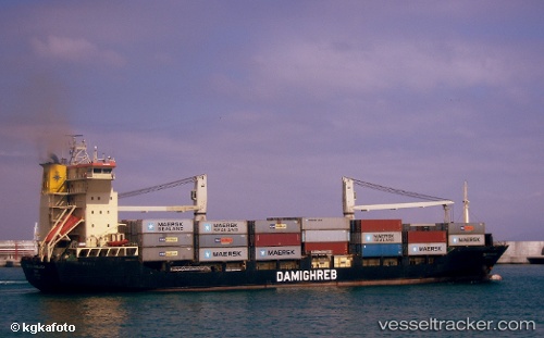
 MED IZMIR
Current Status
Where is the vessel?
MED IZMIR is currently in Near Küçükçekmece, based on AIS data received about 12h ago.
Latest AIS update:
Current position: 40.95674° N, 28.73462° E (Near Küçükçekmece)
Average speed (last 7 days): Loading…
Average speed (last 30 days): Loading…
Vessel profile: MED IZMIR is a Container Ship with dimensions m x m.
This page combines live AIS, route history, probable destination signals, nearby traffic, and port activity for practical vessel monitoring.
The current position of vessel MED IZMIR is 40.95674 lat / 28.73462 lng. Updated: 2026-04-10 07:41:37 UTCNearest reference points:
- Near Küçükçekmece
- Near Ambarli
- Near Kumport
Currently sailing under the flag of Turkey ![]()
Details:
Live Vessel MED IZMIR Analytics (details, animations, etc.)
Recent AIS points (UTC):
2026-04-10 02:13:47 UTC · 40.83349, 28.57956 · SOG 8.7 kn · COG -1°2026-04-10 04:04:36 UTC · 40.95297, 28.73531 · SOG 1.3 kn · COG 20°
2026-04-10 05:32:38 UTC · 40.95663, 28.73444 · SOG 0 kn · COG -1°
2026-04-10 07:41:37 UTC · 40.95674, 28.73462 · SOG 0 kn · COG -1°