 vesseltracker.com
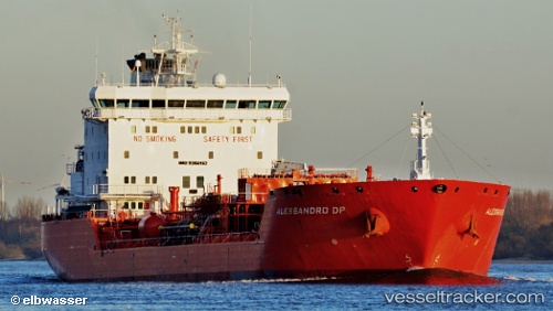
 CHEM NANA
Current Status
Where is the vessel?
CHEM NANA is currently in Near DORTYOL, based on AIS data received less than 1h ago.
Latest AIS update:
Current position: 36.81840° N, 36.10028° E (Near DORTYOL)
Average speed (last 7 days): Loading…
Average speed (last 30 days): Loading…
Vessel profile: CHEM NANA is a Oil/Chemical Tanker with dimensions m x m.
This page combines live AIS, route history, probable destination signals, nearby traffic, and port activity for practical vessel monitoring.
The current position of vessel CHEM NANA is 36.81840 lat / 36.10028 lng. Updated: 2026-04-13 17:39:13 UTCNearest reference points:
- Near DORTYOL
- Near CEYHAN
- Near Iskenderun
Currently sailing under the flag of Turkey ![]()
Details:
Live Vessel CHEM NANA Analytics (details, animations, etc.)
Recent AIS points (UTC):
2026-04-13 12:12:10 UTC · 36.81845, 36.09928 · SOG 0 kn · COG 228°2026-04-13 14:15:12 UTC · 36.81868, 36.10019 · SOG 0.1 kn · COG 241°
2026-04-13 16:09:13 UTC · 36.81835, 36.10035 · SOG 0 kn · COG 257°
2026-04-13 17:39:13 UTC · 36.81840, 36.10028 · SOG 0 kn · COG 254°