 vesseltracker.com
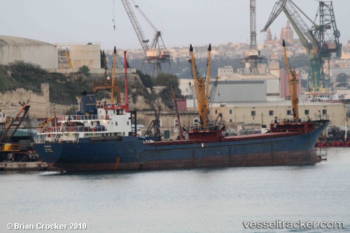
Vessel Nina 1 IMO: 8212324, MMSI: 271271044 General Cargo Ship
UTC, 40.86683, 29.18853, course: -1, speed: 0.3
UTC, 40.86702, 29.18829, course: -1, speed: 0.3
2026-02-10 07:44:00 UTC, 40.86684, 29.18835, course: -1, speed: 0.1
Live AIS position:
UTC. Near PENDIK),
updated 2026-02-10 07:44:00 UTC.
Find the position of the vessel Nina 1 on the map. The latter are known coordinates and path.
marine traffic ship tracker show on live map
The current position of vessel Nina 1 is 40.86684 lat / 29.18835 lng. Updated: 2026-02-10 07:44:00 UTCCurrently sailing under the flag of Turkey
Nina 1 built in 1983 year
Deadweight:
3850 tDetails:
Last coordinates of the vessel:
UTC, 40.86699, 29.18821, course: -1, speed: 0.5UTC, 40.86683, 29.18853, course: -1, speed: 0.3
UTC, 40.86702, 29.18829, course: -1, speed: 0.3
2026-02-10 07:44:00 UTC, 40.86684, 29.18835, course: -1, speed: 0.1