 vesseltracker.com
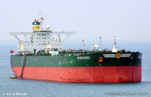
 MAKSIM GORKY
Current Status
Where is the vessel?
MAKSIM GORKY is currently in Near Punta Cardon, based on AIS data received about 1404d ago.
Latest AIS update:
Current position: 11.61748° N, 70.28712° W (Near Punta Cardon)
Average speed (last 7 days): Loading…
Average speed (last 30 days): Loading…
Vessel profile: MAKSIM GORKY is a Crude Oil Tanker with dimensions 332m x 60m.
This page combines live AIS, route history, probable destination signals, nearby traffic, and port activity for practical vessel monitoring.
The current position of vessel MAKSIM GORKY is 11.61748 lat / -70.28712 lng. Updated: 2022-05-31 18:07:27 UTCNearest reference points:
- Near Las Piedras
- Near Bullenbaai
- 24 nm NW of Palm Beach
Currently sailing under the flag of Russia ![]()
MAKSIM GORKY built in 2013 year
Deadweight:
320840 tDetails:
Live Vessel MAKSIM GORKY Analytics (details, animations, etc.)
Recent AIS points (UTC):
2022-05-31 18:07:27 UTC · 11.61748, -70.28712 · SOG 0.1 kn · COG 68°