 vesseltracker.com
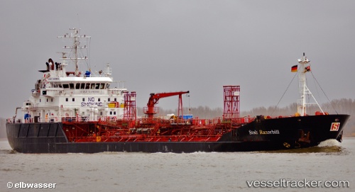
 AMMOLIT
Current Status
Where is the vessel?
AMMOLIT is currently in 64 nm NE of Iturup, based on AIS data received about 1h ago.
Latest AIS update:
Current position: 45.69833° N, 149.41833° E (64 nm NE of Iturup)
Average speed (last 7 days): Loading…
Average speed (last 30 days): Loading…
Vessel profile: AMMOLIT is a Chemical/Oil Products Tanker with dimensions 100m x 17m.
This page combines live AIS, route history, probable destination signals, nearby traffic, and port activity for practical vessel monitoring.
The current position of vessel AMMOLIT is 45.69833 lat / 149.41833 lng. Updated: 2026-04-20 02:38:22 UTCCurrently sailing under the flag of Russia ![]()
AMMOLIT built in 1995 year
Deadweight:
5797 tDetails:
Live Vessel AMMOLIT Analytics (details, animations, etc.)
Recent AIS points (UTC):
2026-04-19 22:14:17 UTC · 46.11833, 150.17166 · SOG 0 kn · COG -1°2026-04-19 23:50:17 UTC · 46.12167, 150.04666 · SOG 11 kn · COG -1°
2026-04-20 01:29:18 UTC · 45.91167, 149.64166 · SOG 13 kn · COG -1°
2026-04-20 02:38:22 UTC · 45.69833, 149.41833 · SOG 14 kn · COG -1°