 vesseltracker.com
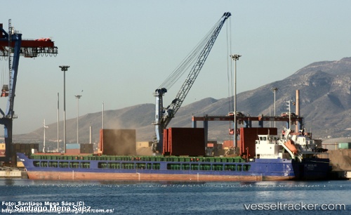
 SV. NIKOLAY
Current Status
Where is the vessel?
SV. NIKOLAY is currently in Near Samsun, based on AIS data received less than 1h ago.
Latest AIS update:
Current position: 41.34257° N, 36.36187° E (Near Samsun)
Average speed (last 7 days): Loading…
Average speed (last 30 days): Loading…
Vessel profile: SV. NIKOLAY is a General Cargo Ship with dimensions 139m x 16m.
This page combines live AIS, route history, probable destination signals, nearby traffic, and port activity for practical vessel monitoring.
The current position of vessel SV. NIKOLAY is 41.34257 lat / 36.36187 lng. Updated: 2026-04-13 06:21:33 UTCNearest reference points:
- Near Samsun
- 15 nm W of UNYE
- 22 nm E of Sinop
Currently sailing under the flag of Russia ![]()
SV. NIKOLAY built in 2009 year
Deadweight:
7152 tDetails:
Live Vessel SV. NIKOLAY Analytics (details, animations, etc.)
Recent AIS points (UTC):
2026-04-12 23:58:33 UTC · 41.34272, 36.36195 · SOG 0 kn · COG 254°2026-04-13 02:35:32 UTC · 41.34291, 36.36182 · SOG 0 kn · COG 245°
2026-04-13 03:23:32 UTC · 41.34302, 36.36179 · SOG 0 kn · COG 240°
2026-04-13 06:21:33 UTC · 41.34257, 36.36187 · SOG 0 kn · COG 262°