 vesseltracker.com
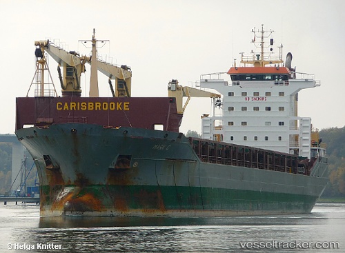
Vitoria Bay
Current StatusWhere is the vessel?
Vitoria Bay is currently in Near Al Latakia, based on AIS data received about 1d ago.
Latest AIS update:
Current position: 35.52122° N, 35.76847° E (Near Al Latakia)
Average speed (last 7 days): Loading…
Average speed (last 30 days): Loading…
Vessel profile: Vitoria Bay is a Multi Purpose Carrier with dimensions 24m x 160m.
This page combines live AIS, route history, probable destination signals, nearby traffic, and port activity for practical vessel monitoring.
The current position of vessel Vitoria Bay is 35.52122 lat / 35.76847 lng. Updated: 2026-04-10 05:56:48 UTCNearest reference points:
- Near Al Latakia
- Near Al Ladhiqiyah
- Near Tartous
Currently sailing under the flag of
Vitoria Bay built in 0 year
Deadweight:
0 tDetails:
Live Vessel Vitoria Bay Analytics (details, animations, etc.)
Recent AIS points (UTC):
2026-04-10 02:04:52 UTC · 35.52167, 35.76833 · SOG 0 kn · COG -1°2026-04-10 02:04:52 UTC · 35.52167, 35.76833 · SOG 0 kn · COG -1°
2026-04-10 05:29:46 UTC · 35.52121, 35.76848 · SOG 0 kn · COG 15°
2026-04-10 05:56:48 UTC · 35.52122, 35.76847 · SOG 0 kn · COG 15°