 vesseltracker.com
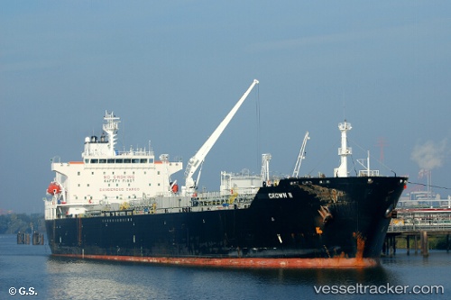
 AZALEA
Current Status
Where is the vessel?
AZALEA is currently in 14 nm NW of Baba Point, based on AIS data received less than 1h ago.
Latest AIS update:
Current position: 39.55520° N, 25.78951° E (14 nm NW of Baba Point)
Average speed (last 7 days): Loading…
Average speed (last 30 days): Loading…
Vessel profile: AZALEA is a Oil/Chemical Tanker with dimensions m x m.
This page combines live AIS, route history, probable destination signals, nearby traffic, and port activity for practical vessel monitoring.
The current position of vessel AZALEA is 39.55520 lat / 25.78951 lng. Updated: 2026-03-29 04:07:07 UTCNearest reference points:
- 14 nm NW of Baba Point
- 14 nm SW of Bozcaada
- Near Baba Point
Currently sailing under the flag of Russia ![]()
Details:
Live Vessel AZALEA Analytics (details, animations, etc.)
Recent AIS points (UTC):
2026-03-28 21:47:01 UTC · 38.68641, 25.70649 · SOG 9.7 kn · COG 352°2026-03-28 23:23:40 UTC · 38.96368, 25.65684 · SOG 10.3 kn · COG 357°
2026-03-29 01:08:41 UTC · 39.25016, 25.62842 · SOG 10.1 kn · COG 10°
2026-03-29 04:07:07 UTC · 39.55520, 25.78951 · SOG 10 kn · COG 20°