 vesseltracker.com
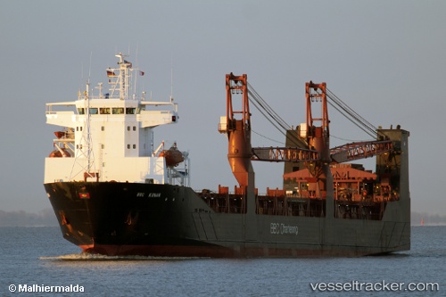
 LADY MARIIA
Current Status
Where is the vessel?
LADY MARIIA is currently in 20 nm E of Vityaz, based on AIS data received less than 1h ago.
Latest AIS update:
Current position: 42.53833° N, 131.60834° E (20 nm E of Vityaz)
Average speed (last 7 days): Loading…
Average speed (last 30 days): Loading…
Vessel profile: LADY MARIIA is a Ro-Ro Cargo with dimensions 126.88m x 20m.
This page combines live AIS, route history, probable destination signals, nearby traffic, and port activity for practical vessel monitoring.
The current position of vessel LADY MARIIA is 42.53833 lat / 131.60834 lng. Updated: 2026-04-20 09:01:28 UTCNearest reference points:
- Near Slavyanka
- Near Vostokmorservice
- Near Vladivostok
Currently sailing under the flag of Russia ![]()
LADY MARIIA built in 2000 year
Deadweight:
7184 tDetails:
Live Vessel LADY MARIIA Analytics (details, animations, etc.)
Recent AIS points (UTC):
2026-04-20 05:16:37 UTC · 42.04500, 131.58333 · SOG 8 kn · COG -1°2026-04-20 07:02:31 UTC · 42.29129, 131.64703 · SOG 7.6 kn · COG 5°
2026-04-20 08:25:34 UTC · 42.46667, 131.64000 · SOG 7 kn · COG -1°
2026-04-20 09:01:28 UTC · 42.53833, 131.60834 · SOG 7 kn · COG -1°