 vesseltracker.com
 TIKSY
TIKSY
Current Status
Where is the vessel?
TIKSY is currently in 10 nm NW of BRONKA, based on AIS data received about 1h ago.
Latest AIS update:
Current position: 60.01714° N, 29.38784° E (10 nm NW of BRONKA)
Average speed (last 7 days): Loading…
Average speed (last 30 days): Loading…
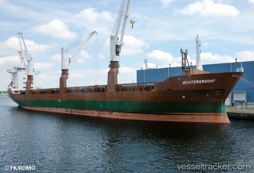
Vessel profile: TIKSY is a General Cargo with dimensions 130m x 19m.
This page combines live AIS, route history, probable destination signals, nearby traffic, and port activity for practical vessel monitoring.
The current position of vessel TIKSY is 60.01714 lat / 29.38784 lng. Updated: 2026-03-31 16:19:06 UTCNearest reference points:
- 14 nm NW of KRONSHTADT
- Near Kronstadt
- Near KRONSHTADT
Currently sailing under the flag of Russia ![]()
TIKSY built in 1990 year
Deadweight:
12239 tDetails:
Live Vessel TIKSY Analytics (details, animations, etc.)
Recent AIS points (UTC):
2026-03-31 09:31:01 UTC · 60.01628, 29.38267 · SOG 1.1 kn · COG 48°2026-03-31 11:22:21 UTC · 60.01681, 29.38279 · SOG 2 kn · COG 67°
2026-03-31 13:34:13 UTC · 60.01650, 29.38744 · SOG 0.1 kn · COG 295°
2026-03-31 16:19:06 UTC · 60.01714, 29.38784 · SOG 2.6 kn · COG 281°