 vesseltracker.com
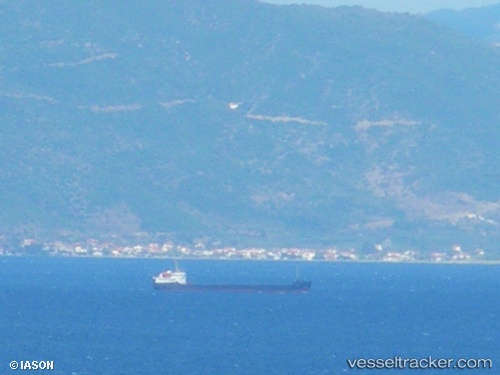
Modus
Current StatusWhere is the vessel?
Modus is currently in Near Azov, based on AIS data received about 1h ago.
Latest AIS update:
Current position: 47.11806° N, 39.39681° E (Near Azov)
Average speed (last 7 days): Loading…
Average speed (last 30 days): Loading…
Vessel profile: Modus is a General Cargo Ship with dimensions 14m x 114m.
This page combines live AIS, route history, probable destination signals, nearby traffic, and port activity for practical vessel monitoring.
The current position of vessel Modus is 47.11806 lat / 39.39681 lng. Updated: 2026-04-08 14:38:09 UTCNearest reference points:
- Near Azov
- 11 nm W of Azov
- Near Rostov-na-Donu
Details:
Live Vessel Modus Analytics (details, animations, etc.)
Recent AIS points (UTC):
2026-04-08 09:26:44 UTC · 47.11800, 39.39672 · SOG 0 kn · COG -1°2026-04-08 12:19:37 UTC · 47.11802, 39.39674 · SOG 0 kn · COG -1°
2026-04-08 13:44:44 UTC · 47.11809, 39.39675 · SOG 0 kn · COG -1°
2026-04-08 14:38:09 UTC · 47.11806, 39.39681 · SOG 0 kn · COG -1°