 vesseltracker.com
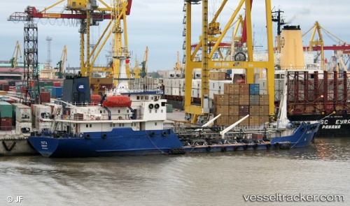
Luga
Current StatusWhere is the vessel?
Luga is currently in Near ARKHANGELSK, based on AIS data received about 2h ago.
Latest AIS update:
Current position: 64.56464° N, 40.50364° E (Near ARKHANGELSK)
Average speed (last 7 days): Loading…
Average speed (last 30 days): Loading…
Vessel profile: Luga is a Oil Products Tanker with dimensions 12m x 78m.
This page combines live AIS, route history, probable destination signals, nearby traffic, and port activity for practical vessel monitoring.
The current position of vessel Luga is 64.56464 lat / 40.50364 lng. Updated: 2026-04-16 02:31:43 UTCNearest reference points:
- Near ARKHANGELSK
- Near Arkhangel’Sk
- Near Ekonomiya
Details:
Live Vessel Luga Analytics (details, animations, etc.)
Recent AIS points (UTC):
2026-04-15 21:45:44 UTC · 64.56466, 40.50356 · SOG 0 kn · COG 190°2026-04-15 21:45:44 UTC · 64.56466, 40.50356 · SOG 0 kn · COG 190°
2026-04-16 01:28:43 UTC · 64.56461, 40.50355 · SOG 0 kn · COG 190°
2026-04-16 02:31:43 UTC · 64.56464, 40.50364 · SOG 0 kn · COG 191°