 vesseltracker.com
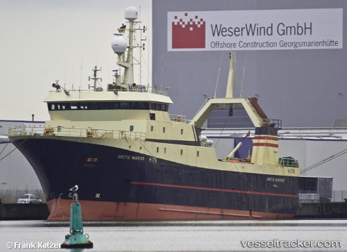
Olga
Current StatusWhere is the vessel?
Olga is currently in 87 nm E of Vreta Kloster, based on AIS data received about 1d ago.
Latest AIS update:
Current position: 58.10333° N, 153.17500° E (87 nm E of Vreta Kloster)
Average speed (last 7 days): Loading…
Average speed (last 30 days): Loading…
Vessel profile: Olga is a Fish Carrier with dimensions 13m x 55m.
This page combines live AIS, route history, probable destination signals, nearby traffic, and port activity for practical vessel monitoring.
The current position of vessel Olga is 58.10333 lat / 153.17500 lng. Updated: 2026-04-10 07:12:34 UTCNearest reference points:
- 74 nm E of Vreta Kloster
- 70 nm SW of Ust'-Khayryuzovo
- 40 nm W of Ust'-Khayryuzovo
Details:
Live Vessel Olga Analytics (details, animations, etc.)
Recent AIS points (UTC):
2026-04-10 02:21:30 UTC · 58.16500, 153.33833 · SOG 3 kn · COG -1°2026-04-10 03:27:33 UTC · 58.13333, 153.25500 · SOG 3 kn · COG -1°
2026-04-10 05:57:31 UTC · 58.07333, 153.10500 · SOG 2 kn · COG -1°
2026-04-10 07:12:34 UTC · 58.10333, 153.17500 · SOG 2 kn · COG -1°