 vesseltracker.com
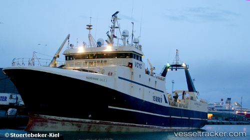
Kem
Current StatusWhere is the vessel?
Kem is currently in 238 nm NW of Matochkin Shar, based on AIS data received about 1d ago.
Latest AIS update:
Current position: 76.53013° N, 45.36073° E (238 nm NW of Matochkin Shar)
Average speed (last 7 days): Loading…
Average speed (last 30 days): Loading…
Vessel profile: Kem is a Fishing Vessel with dimensions 14m x 69m.
This page combines live AIS, route history, probable destination signals, nearby traffic, and port activity for practical vessel monitoring.
The current position of vessel Kem is 76.53013 lat / 45.36073 lng. Updated: 2026-04-10 07:03:17 UTCNearest reference points:
- 223 nm NW of Matochkin Shar
Details:
Live Vessel Kem Analytics (details, animations, etc.)
Recent AIS points (UTC):
2026-04-10 02:04:20 UTC · 76.43043, 45.36063 · SOG 2.6 kn · COG 186°2026-04-10 03:53:47 UTC · 76.37308, 45.37930 · SOG 2.6 kn · COG 331°
2026-04-10 06:10:59 UTC · 76.48781, 45.35857 · SOG 2.9 kn · COG 350°
2026-04-10 07:03:17 UTC · 76.53013, 45.36073 · SOG 2.9 kn · COG 345°