 vesseltracker.com
 Moonray
Current Status
Where is the vessel?
Moonray is currently in Near St. Louis Du Rhone, based on AIS data received about 1h ago.
Latest AIS update:
Current position: 43.38349° N, 4.80851° E (Near St. Louis Du Rhone)
Average speed (last 7 days): Loading…
Average speed (last 30 days): Loading…
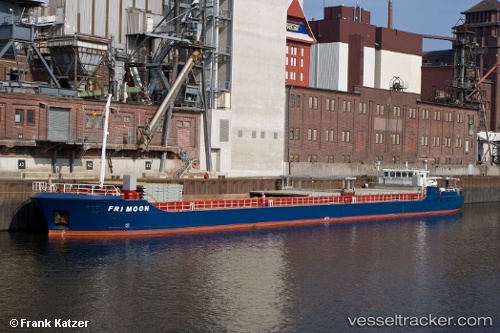
Vessel profile: Moonray is a General Cargo Ship with dimensions 90m x 12m.
This page combines live AIS, route history, probable destination signals, nearby traffic, and port activity for practical vessel monitoring.
The current position of vessel Moonray is 43.38349 lat / 4.80851 lng. Updated: 2026-04-18 12:18:16 UTCNearest reference points:
- Near SAINT LOUIS DU RHONE
- Near Fos-sur-Mer
- 25 nm SW of Carro
Currently sailing under the flag of Latvia ![]()
Moonray built in 2001 year
Deadweight:
2300 tDetails:
Live Vessel Moonray Analytics (details, animations, etc.)
Recent AIS points (UTC):
2026-04-18 06:11:12 UTC · 42.82563, 4.43064 · SOG 8.4 kn · COG 43°2026-04-18 07:52:49 UTC · 42.99723, 4.64344 · SOG 9 kn · COG -1°
2026-04-18 09:46:56 UTC · 43.21388, 4.89087 · SOG 8.6 kn · COG 36°
2026-04-18 12:18:16 UTC · 43.38349, 4.80851 · SOG 0 kn · COG -1°