 vesseltracker.com
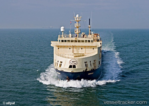
Margiris
Current StatusWhere is the vessel?
Margiris is currently in Near Las Palmas, based on AIS data received less than 1h ago.
Latest AIS update:
Current position: 28.15436° N, 15.41158° W (Near Las Palmas)
Average speed (last 7 days): Loading…
Average speed (last 30 days): Loading…
Vessel profile: Margiris is a Fish Carrier with dimensions 17m x 143m.
This page combines live AIS, route history, probable destination signals, nearby traffic, and port activity for practical vessel monitoring.
The current position of vessel Margiris is 28.15436 lat / -15.41158 lng. Updated: 2026-04-09 05:37:43 UTCNearest reference points:
- Near Las Palmas
- Near Las Palmas de Gran Canaria
- Near TALIARTE
Details:
Live Vessel Margiris Analytics (details, animations, etc.)
Recent AIS points (UTC):
2026-04-09 00:13:43 UTC · 28.15434, -15.41154 · SOG 0 kn · COG 179°2026-04-09 01:22:47 UTC · 28.15439, -15.41157 · SOG 0 kn · COG 180°
2026-04-09 03:19:45 UTC · 28.15431, -15.41160 · SOG 0 kn · COG 179°
2026-04-09 05:37:43 UTC · 28.15436, -15.41158 · SOG 0 kn · COG 179°